Meet MapBI:
The Next Evolution of 3DEO
We’re thrilled to reveal that 3DEO Active Maps has officially become MapBI, following its acquisition by MapBI Ltd, a wholly owned subsidiary of Built Cybernetics plc.




We’re delighted to have acquired this complementary business, which should allow us to accelerate the growth of recurring software revenues, we expect a strong start from MapBI in the current year.
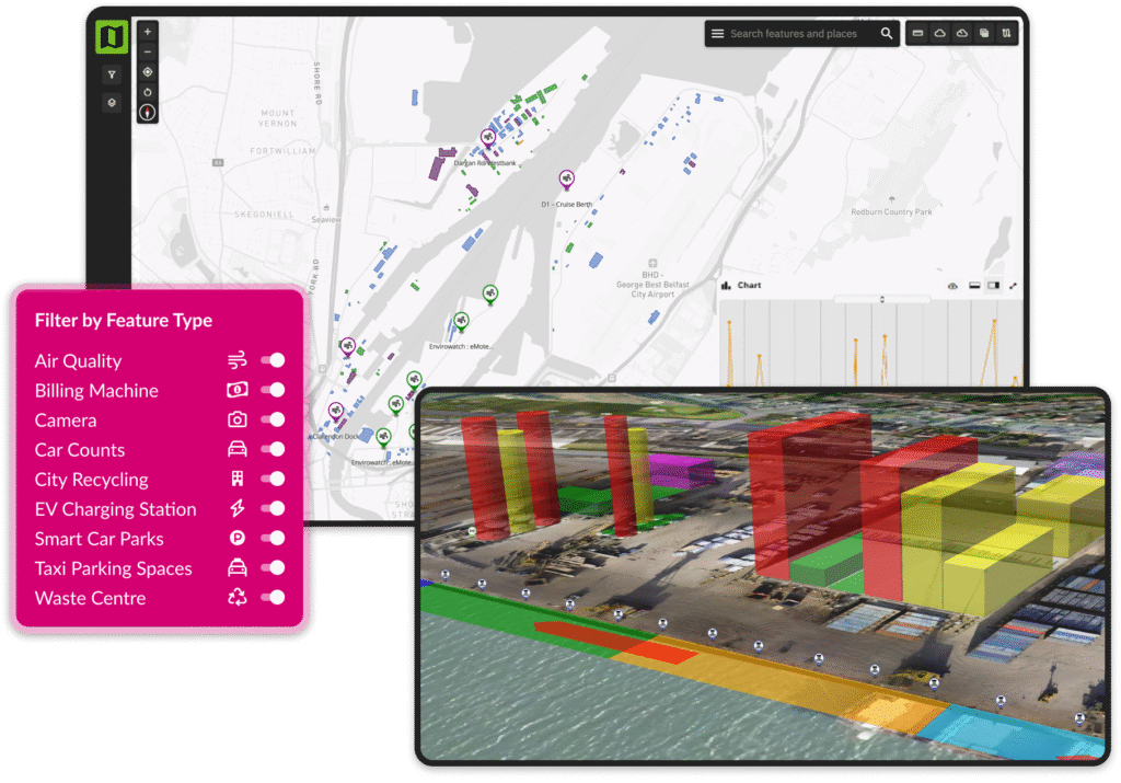
MapBI brings all your data old, new, structured, or unstructured into a single, intuitive map-based interface accessible from any modern web browser. By connecting datasets spatially, you can uncover relationships that are impossible to see in spreadsheets, graphs, or disconnected platforms. One map. One view. Total clarity.

MapBI integrates seamlessly with a wide range of data sources from live sensors and third-party data providers to data warehouses and standalone software tools. We stream multiple data types into one unified window, giving you a richer, more complete understanding of what’s happening across your operations.
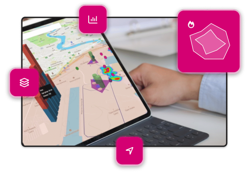
When your data finally works together, your teams can too. MapBI combines all your information in one place, helping stakeholders discover deeper insights, build stronger conclusions, and make faster, more informed decisions. Collaboration becomes effortless when everyone sees the same source of truth.

Built as a fully cloud-native modular platform, MapBI grows with you. And because we don’t charge per-user licensing fees, you can share dashboards and insights freely across teams, departments, or entire organisations without restrictions or hidden costs.

Eliminate the need to cross-reference multiple dashboards, files, and data stores. With MapBI, everything you need is brought together in a single map-driven view. It’s the simplest, most efficient way to visualize and act on your data saving time, reducing complexity, and accelerating outcomes.
MapBI is designed for teams who need clear, real-time visibility across people, assets and operations.

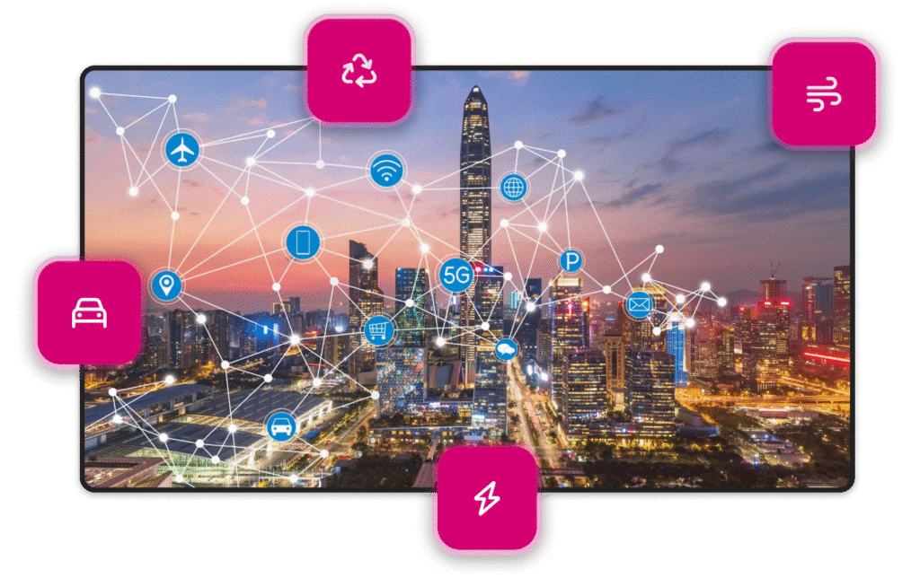
Build smart twins for cities, airports, and buildings by unifying all IoT feeds and data sources into one live map.

Map entire port estates, blending historic data and live sensors to track activity, streamline logistics, and enhance safety.

Visualise connectivity networks, link them to social and geographic indicators, and quickly spot service gaps.

Monitor lakes, rivers, and catchments in real time to predict algae blooms, assess river health, and reduce leakage.

Combine cameras, sensors, satellite imagery, and drone data to monitor large-scale infrastructure from a single platform.

Get in contact with one of our team today and we’ll be happy to take you through it